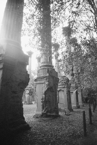
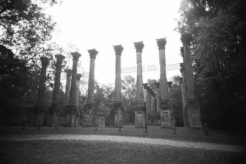
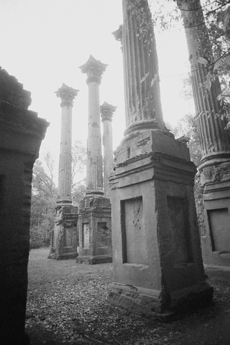
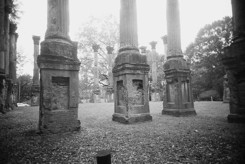
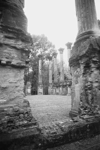
So as previously mentioned, I took Halloween off because I had some PTO I needed to use up by the end of 2014, it was a Friday, and no one else in my department had taken it. I like Halloween but normally don’t do anything with it other than watch a scary movie and eat candy, but I decided this Halloween was the perfect time to re-visit the ghost town of Rodney, Mississippi. I went there about a year and a half ago with my friend Trish, but we didn’t have much time because we’d met for lunch, wanted to shoot the Windsor Ruins after Rodney, and were going home the same day. So I’ve always meant to go back, and this trip I didn’t schedule anything else that day and got a hotel room in Natchez, so if could get there around noon I’d have 3 or 4 hours. And I brought lunch with me, too.
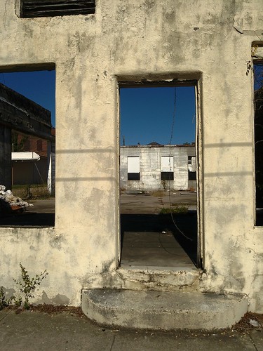
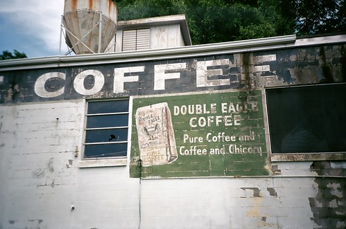
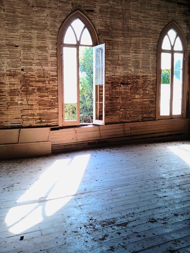
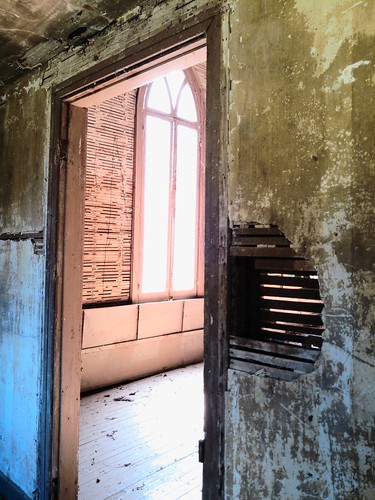
Rodney was quite an important town for most of the 19th century and was just a few votes shy of being the capital of Mississippi Territory. Quite a lot of important people in the Natchez area were originally from Rodney, including the Nutt family, one of the sons of whom built Longwood, the famous unfinished plantation in Natchez that I toured earlier this year on a previous visit. But after the Civil War the river changed course, then there was a cotton weevil blight during the 1930s, and it was pretty empty by the end of WWII. There are still a handful of people living there today, a few new-ish houses surrounded by a town of decayed old buildings. I live in a pretty rural area and understand the appeal of peace and quiet, but this is like a whole other level. None of the roads leading into/out of the town are paved, and it’s miles from anything. Just to get a tank of gas or a carton of milk would take more than an hour.
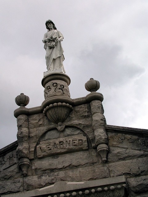
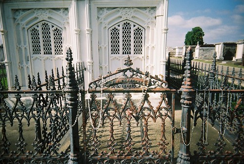
Trish and I managed to find it last year, but I always felt like that was luck more than skill and I didn’t want to leave anything up to chance this time. The Presbyterian church is on the National Register of Historic Places in Jefferson County, MS on account of it was fired on by a Union gunboat during the war–there’s an old cannonball embedded in the front. I was able to find the GPS coordinates for it and plugged them into my Garmin. It took a more circuitous route than I remembered, I think because it was sticking to mapped/named roads–I remember looking at Trish’s Garmin (we have the same model) last time and seeing the car just kind of floating in the middle of a blank whiteness, which was a little eerie. Anyway, it got me there in the end. It looked more overgrown than I remembered, but maybe that’s just because it was the first week of March when we went last year and still pretty wintery.


I shot some film too, but I haven’t gotten it back yet.
Like me on Facebook!